
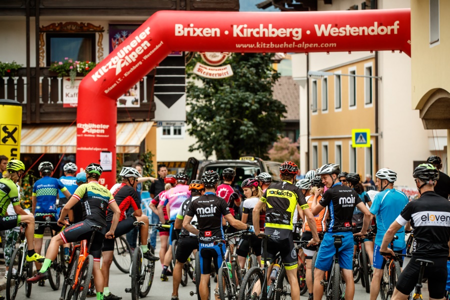
Tours
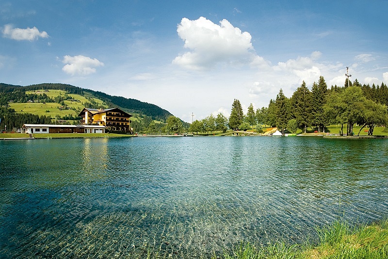
Westendorf - Schwarzsee
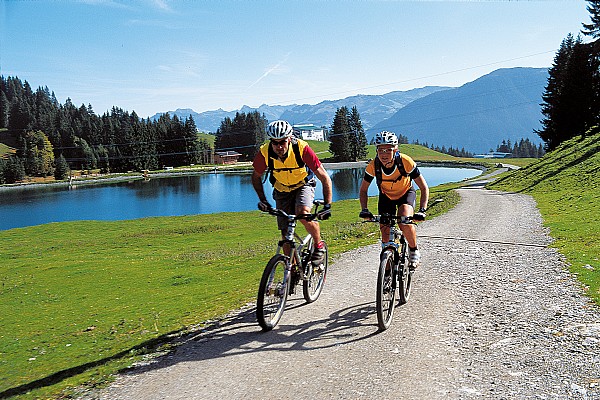
This tour begins in the centre of Westendorf. At the petrol station, turn right onto the cycle route Brixental. Initially you travel through the district, Bichling. Soon you will arrive in Brixen im Thale along the well- constructed cycle path. Remaining on the cycle path, you will pass the swimming pool of Brixen im Thale. From this on, you arrive in Kirchberg close to the train station. After you will cycle directly into the centre of the town, crossing the main road at the music pavilion and branching off to the left onto the Reithergasse. The route takes us past the Schwarzsee Golf Course to our planned destination, the Schwarzsee Lake. Along the lake you have several bistros and restaurants encourage you to take a short refreshing rest before beginning our return journey to Westendorf along the same tour.
Distance: 29,9 km
Decent: 160 m
Level of difficulty: Easy
Alpenrose Bahn - Talkaser - Decent to Westendorf
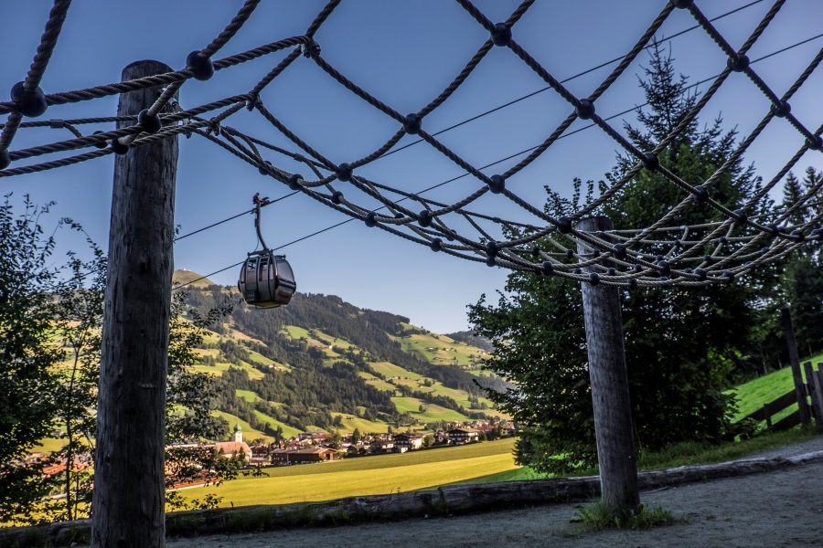
Would you like to go to the top of the mountain? But not feeling like biking all the way up? The solution is just as easy as it is brilliant. Just take the mountainbike in the Alpenrose Bahn. It takes you up to 1,760 metres, where the adventure can begin.
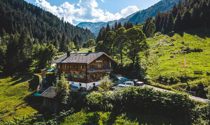
At the top you can start with a refreshment of a good cup of coffee. The tour then continues downhill, past the Fleidingalm and then slightly uphill again to the Brechhornhaus. The view of the surrounding mountains is fantastic. At the Brechhornhaus they have one of the best regional foods. Behind the Brechhorn is one of the most beautiful mountain lakes in the region (the Kreuzjöchlsee), which you should definitely visit before returning to the valley. This time only downhill, turn left before the Fleidingalm and continue to cycle along cycle path no. 209 to the valley station of the Alpenrosenbahn cable car.
Distance: 12,1 km
Decent: 1380 m
Level of difficulty: Easy
Windautal - Gamskogelhutte - Westendorf
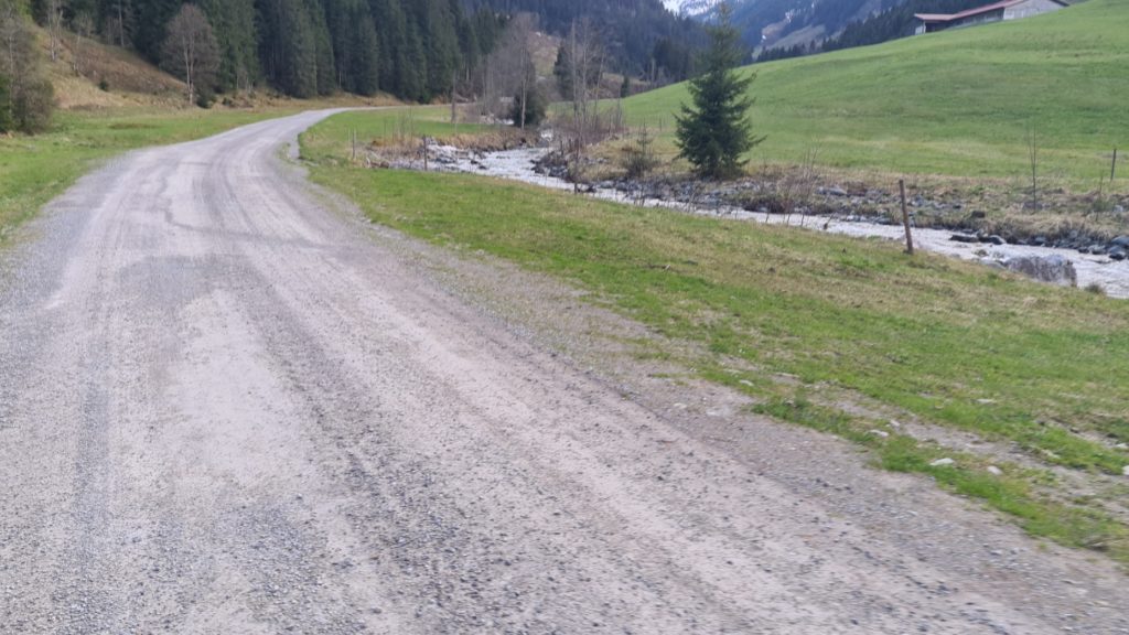
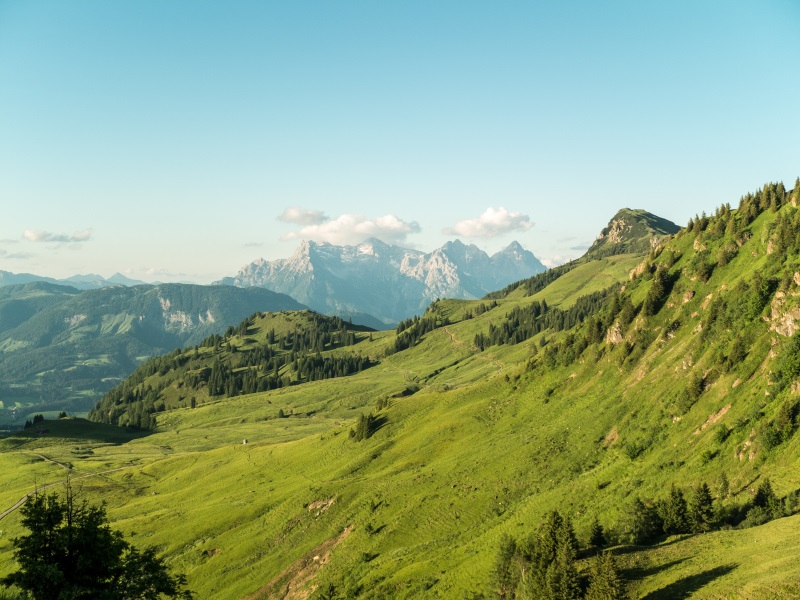
The Windautal is considered a nature jewel with its many refreshing stops, beautiful views and different tours in the Kitzbueheler Alpen. Its view consists of meadows, trees, mountains and huts. Futhermore, the road or gravel is slightly ascending along the Windaur River, which cools you down on hot days. After an hour bike ride you can smell a mile away the tempting delicacies from the Gamskogelhutte. With new energies in your legs, it is slightly descending easy ride along the Windaur river back to Westendorf.
Distance: 29,4 km
Altitude: 550 m
Level of difficulty: Easy – Medium
Tour 205. Klooalm - Gauxerstadl
This tour is perfect for families with sporty children. It offers a challenging workout for the whole family, exactly as it should be. Under the motto “first the work, then the fun”, the reward for the ascent in the first half of the tour is double: first enjoy delicious cake on the Klooalm and then the descent back to Kirchberg.
If you and the kids still have energy left at the end, a short diversions to the Bike Skill Park behind the valley station of the Fleckalmbahn is well worth it. Here, the whole family can expend their energy for the rest of the day on the course created especially for cycling beginners.
Distance: 45,5 km
Decent: 780 m
Level of difficulty: Easy – Medium
Salvenrunde
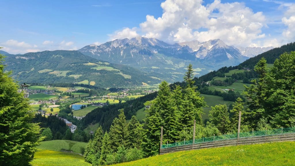
This tour will take you past every village in the Kitzbueheler Alpen. Cycle trail no. 21 from there to Brixen im Thale and Kirchberg – always on a very pleasant incline and away from the busy traffic routes. In Kirchberg, the trail continues north past the Kitzbühel-Schwarzsee golf course to Reith bei Kitzbühel. Follow the signs through the village, uphill towards Astberg and downhill again on the Schösserweg until you reach the L202. This leads in a few hundred metres to the well-known Stanglwirt in Going. At the junction, turn onto the B178 and turn left onto the Aupromenade. Cycle along cycle path no. 14 through the villages of Going, Ellmau, Scheffau and Söll at the foot of the Wilder Kaiser to the valley station of the Salvista gondola lift. After crossing the village, this leads south into the Windautal valley and from there back to Westendorf in a loop.
Distance: 63,1 km
Altitude: 870 m
Level of difficulty: Medium
Seenrunde
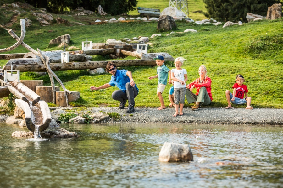
A whole day of fun for young and old! You set off for the village of Moosen on the other side of the road from Westendorf. Here you will cycle up a classic steep mountain road to the very first artificial lake, named after the mountain “Hohe Salve”, that you will encounter. These lakes were built for the snow cannons to cover the slopes in winter. Once you have arrived, continue on the road to the next spray lake, the “Salvensee”. Once there, take the route around the Hohe Salve to the Hexenwasser. This is a cool “amusement park” for children, but it offers much more than swings, slides and roller coasters. All kinds of knowledge about animals, physical phenomena or cultural peculiarities are imparted here in a clever way. Plan enough time for the Hexenwasser and don’t forget your swimming costume, because it’s going to be great here! Once you’ve had enough, take the decent to Brixen and then back to Westendorf along the cycle path.
Distance: 27,4 km
Altitude: 1150 m
Level of difficulty: Medium
Hochbrixen - Hexenwasser - Söll
Starting at Summersports Westendorf, cycle to ‘Friends Pub’ and then take a right turn towards Brixen im Thale. When in Brixen keep an eye out for the sign that says ‘Gasthouse Nieding’. This road will take you up to Hochbrixen. At ‘Nieding’, go through the tunnel and keep to the left. After around approx. 500 meters the asphalt road will become a gravel road. Further up ahead is the Filzalm Lake, here kids (and adults) can play and swim (so don’t forget your swimwear!) From here, follow the path that takes you past the lake to Hochsöll. This beautiful path wanders though the forests and gently takes you downhill to Hochsöll and Hexenwasser (Witches’ Water). The Hexenwasser is a playground for young and old, and another reason to not forget your swimwear! These magical waters and streams should replenish your energy for the second leg of the journey. Feeling fully revived, follow the path up straight ahead; this is the descent that takes you towards the center of Söll.
To get back to Westendorf you follow the, mostly flat, road around the mountain.
Distance: 35,1 km
Altitude: 1170 m
Level of difficulty: Medium
Kienzling Tour No. 206
The Windautal area has been called ‘jewel of nature’, and this tour will show you why. It crosses a small river, leads past ancient oak trees and through alpine meadows. Once you’re at the top, the view over the valleys is spectacular. Yet, the best part is yet to come: a relaxing (or thrilling, depending on how you use the breaks) descent on an asphalt road past calmly grazing cows back to town.
Distance: 24,3 km
Altitude: 790 m
Level of difficulty: Medium
Westendorfrunde
Are you visiting Westendorf in winter? Or are you curious about how beautiful the green mountains are in summer? Then this tour is just the thing for you! Start riding on a scenic trail that takes you through the dense forest, enjoying the shade and the serenity of nature. This part of the trail is the tobogganing descent in winter. After a demanding ascent, you will reach the Brechhornhaus. Take a break at the Brechhornhaus, where you can replenish your energy with a delicious meal and enjoy panoramic views of the surrounding peaks. From the Brechhornhaus, start your descent towards Brixenbach. This part of the trail offers an exhilarating experience. The trail will lead you through Brixenbach, a charming village in the Brixental Valley. Take a moment to explore the village, perhaps stopping for a refreshment at a local café or restaurant.
Distance: 30,2 km
Altitude: 1040 m
Level of difficulty: Medium – Hard
Niederau - Oberau - Wörgl - Itter - Westendorf
This tour goes along the beautiful Windautal, Niederau and Oberau. After Golf Resort Pure Resorts, take the right turn where you dive straight into the depths of Windautal and arrive at the beautiful Lendwirt restaurant. You then follow the cycle path along the refreshing Windauer Ache to the village of Boden. Once arrived in Boden, it is a left turn over the bridge and then begins the climb to the village of Niederau. Highly recommended in Niederau to regain strength is the incredibly tasty lunch at the Hexenalm. After recovering your strength, you follow a gently sloping road to Oberau. Once in Oberau, you are only halfway through the tour, but the best news is that from now on it is almost only downhill back via Wörgl, Itter and Hopfgarten.
Distance: 66,5 km
Altitude: 1400 m
Level of difficulty: Medium – Hard
Kitzbuehel - Jochberg - Pengelstein - Ache - Kirchberg
This tour takes you through the geographical heart of the Kitzbueheler Alpen. It starts with a relaxing bike ride through the various Tyrolean villages of Brixen, Kirchberg and Kitzbuehel. It goes without saying that all of these villages have great shops and terraces. After Kitzbuehel, the cycling path leads you along the Kitzbuehler Ache, which provides a wonderful cooling effect in summer, to Jochberg. Once you have arrived, the first part of the climb begins. The climb is a classic of the Tour de France with a gentle start, which turns into a steep climb up to the Pengelstein (1938 m). After the Pengelstein and the Hieslegsee, the gradual descent towards Aschau begins. Once in Aschau you continue the route via the Aschauer Ache towards Kirchberg where culinary delights await you to celebrate your tour!
Distance: 66,2 km
Altitude: 1360 m
Level of difficulty: Hard
Windautal Runde
The Windautal is considered a nature jewel with its many refreshing stops, beautiful views and different tours in the Kitzbueheler Alpen. Its view consists of meadows, trees, mountains and huts. Futhermore, the road or gravel is slightly ascending along the Windaur River, which cools you down on hot days. After an hour bike ride you can smell a mile away the tempting delicacies from the Gamskogelhutte. With new energies in your legs, it is slightly descending easy ride along the Windaur river back to Westendorf.
Distance: 46,5 km
Altitude: 1310 m
Level of difficulty: Hard
Rotwandalm - Filzenscharte - Stangenjoch
This tour is not for the faint-hearted! We can’t tell you what to do, but we strongly recommend you leave early and with a full stomach, as this is a full-day tour with a large altitude difference.
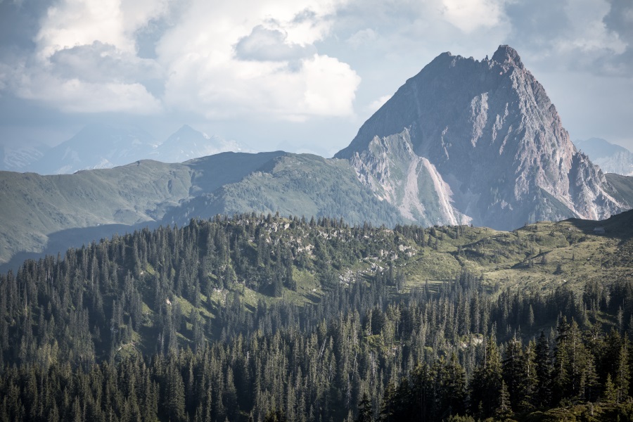
From Summersports Westendorf you take the route to Windautal, which is a beautiful green, lush, pine tree filled, mountain view rich area. After reaching the Gamskogelhutte, you continue to Rotwand Grundalm. Up ahead you will enter the provice of Salzburg and you’ll able to see the Hohe Tauern and its glistening glaciers (weather permitting). Once arrived in Neukirchen, the cycle path leads you up the ascent of Stangenjoch. Before you start the ascend, make sure you have enough water and snacks with you, as the summer sun can make it a little too hot to handle.
The reward for the intense climb will be the absolutely stunning view of the Grosser Rettenstein and its surrounding mountains. Although the best reward might be the news that it’s all downhill from here.
Distance: 82,1 km
Altitude: 2210 m
Level of difficulty: Extreme